Gaocheng District
| Gaocheng 藁城区 | |
|---|---|
| District | |
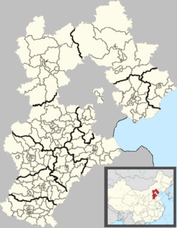 Gaocheng Location in Hebei | |
| Coordinates: 38°01′N 114°51′E / 38.017°N 114.850°ECoordinates: 38°01′N 114°51′E / 38.017°N 114.850°E | |
| Country | People's Republic of China |
| Province | Hebei |
| Prefecture-level city | Shijiazhuang |
| Township-level divisions |
13 towns 1 ethnic township |
| Municipal seat | Lianzhou |
| Area | |
| • Total | 836 km2 (323 sq mi) |
| Elevation | 57 m (187 ft) |
| Population (2010) | |
| • Total | 775,100 |
| • Density | 930/km2 (2,400/sq mi) |
| Time zone | China Standard (UTC+8) |
| Postal code | 052100 |
| Area code(s) | 0311 |
| Website |
gc |
Gaocheng (Chinese: 藁城) is a district under the administration of Shijiazhuang in southwestern Hebei province, People's Republic of China, on the upper reaches of the Hutuo River (滹沱河). The city has a total area of 836 square kilometres (323 sq mi) and in 2010 had a population of 743,000.[1]
History
In 113 BCE, during the Western Han Dynasty, Cheng County (城縣) was established, and renamed as Gaocheng County (藁城縣) during the Yuan Dynasty. The present county-level was established in July 1989.
Administrative divisions
There are 13 towns and 1 township.[2]
Towns:
- Lianzhou (廉州镇), Gangshang (岗上镇), Nandong (南董镇), Xing'an (兴安镇), Nanmeng (南孟镇), Meihua (梅花镇), Chang'an (常安镇), Zengcun (增村镇), Xiguan (西关镇), Zhangjiazhuang (张家庄镇), Jiashizhuang (贾市庄镇), Qiutou (丘头镇), Nanying (南营镇)
Townships:
- Jiumen Hui Ethnic Township (九门回族乡)
Transport
- Shijiazhuang−Dezhou Railroad
- G1811 Huanghua−Shijiazhuang Expressway
- China National Highway 307
References
- ↑ (Chinese) Gaocheng overview, from the official government page
- ↑ (Chinese) Geographic information, from the official government page
External links
- (Chinese) Gaocheng Window, official government page
This article is issued from Wikipedia - version of the 7/18/2015. The text is available under the Creative Commons Attribution/Share Alike but additional terms may apply for the media files.