Freethorpe
| Freethorpe | |
 Freethorpe All Saints |
|
 Freethorpe |
|
| Area | 9.51 km2 (3.67 sq mi) |
|---|---|
| Population | 906 |
| – density | 95/km2 (250/sq mi) |
| OS grid reference | TG409054 |
| Civil parish | Freethorpe |
| District | Broadland |
| Shire county | Norfolk |
| Region | East |
| Country | England |
| Sovereign state | United Kingdom |
| Post town | NORWICH |
| Postcode district | NR13 |
| Police | Norfolk |
| Fire | Norfolk |
| Ambulance | East of England |
| EU Parliament | East of England |
Coordinates: 52°35′35″N 1°33′22″E / 52.59299°N 1.55621°E
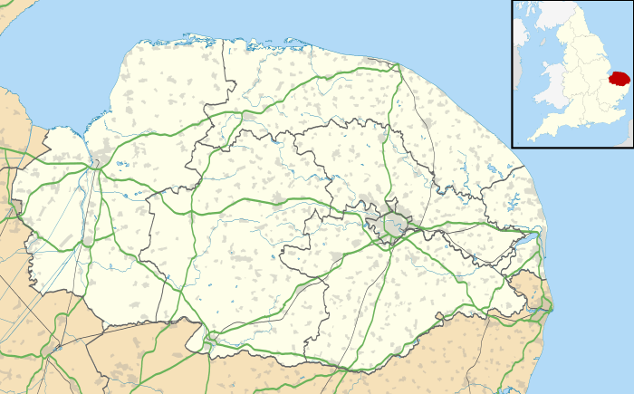
Freethorpe is a civil parish in the English county of Norfolk, about 8 miles (13 km) south-west of Great Yarmouth. It covers an area of 9.51 km2 (3.67 sq mi) and had a population of 906 in 363 households at the 2001 census.[1] For the purposes of local government, it falls within the district of Broadland.
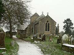
Its church, All Saints, is one of 124 existing round-tower churches in Norfolk.
School
Freethorpe Community Primary School, is the local school, which teaches Reception to Year 6 (Ages 4–11). The headteacher is Rachel Quick-Gunning. At the end of every year, the leaving Year 6's put on a performance of well-known play/story.
Notes
- ↑ Census population and household counts for unparished urban areas and all parishes. Office for National Statistics & Norfolk County Council (2001). Retrieved 20 June 2009.
External links
| Wikimedia Commons has media related to Freethorpe. |
This article is issued from Wikipedia - version of the 3/9/2016. The text is available under the Creative Commons Attribution/Share Alike but additional terms may apply for the media files.