Flatvaer Islands
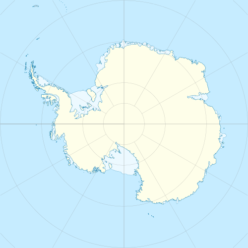 Flatvaer Islands Location in Antarctica | |
| Geography | |
|---|---|
| Location | Antarctica |
| Coordinates | 69°01′S 39°33′E / 69.017°S 39.550°ECoordinates: 69°01′S 39°33′E / 69.017°S 39.550°E |
| Administration | |
|
None | |
| Demographics | |
| Population | Uninhabited |
| Additional information | |
| Administered under the Antarctic Treaty System | |
The Flatvaer Islands (Norwegian: Flatvær), also known as the Ongul Islands are a group of small islands, of which Ongul Island is the largest, lying at the east side of the entrance of Lützow-Holm Bay, 4 km from the coastline of Antarctica. They were mapped by Norwegian cartographers from air photos taken by the Lars Christensen Expedition, 1936–37, and named Flatvær (flat islands).[1]
References
- ↑ "Flatvaer Islands". Geographic Names Information System. United States Geological Survey. Retrieved 2012-03-27.
![]() This article incorporates public domain material from the United States Geological Survey document "Flatvaer Islands" (content from the Geographic Names Information System).
This article incorporates public domain material from the United States Geological Survey document "Flatvaer Islands" (content from the Geographic Names Information System).
This article is issued from Wikipedia - version of the 11/15/2016. The text is available under the Creative Commons Attribution/Share Alike but additional terms may apply for the media files.