Ferro (Covilhã)
| Ferro | |
|---|---|
| Parish | |
 Ferro | |
| Coordinates: 40°14′06″N 7°26′42″W / 40.235°N 7.445°WCoordinates: 40°14′06″N 7°26′42″W / 40.235°N 7.445°W | |
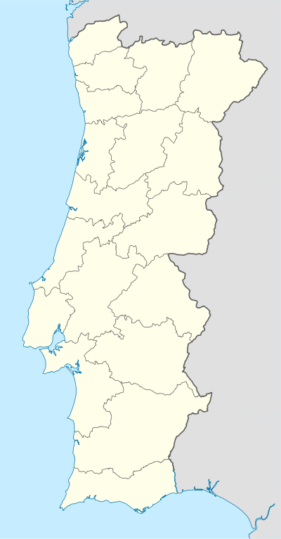
| Country | Portugal |
| Region | Centro |
| Subregion | Cova da Beira |
| Intermunic. comm. | Beiras e Serra da Estrela |
| District | Castelo Branco |
| Municipality | Covilhã |
| Area | |
| • Total | 30.76 km2 (11.88 sq mi) |
| Population (2011) | |
| • Total | 1,700 |
| • Density | 55/km2 (140/sq mi) |
Ferro is a civil parish in the municipality of Covilhã, Portugal. The population in 2011 was 1,700,[1] in an area of 30.76 km².[2]
References
This article is issued from Wikipedia - version of the 1/25/2016. The text is available under the Creative Commons Attribution/Share Alike but additional terms may apply for the media files.