Evrotas (municipality)
| Evrotas Ευρώτας | |
|---|---|
 Evrotas | |
|
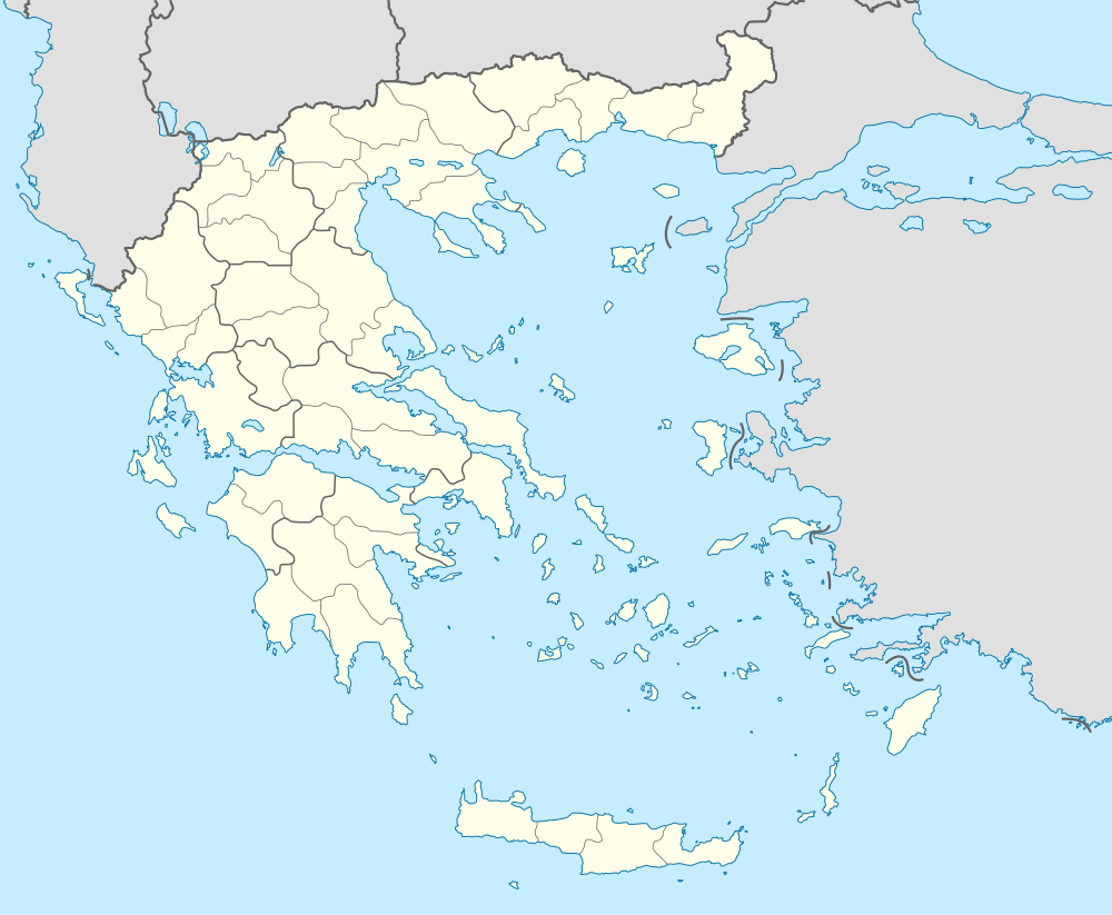
Location within the region 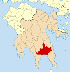 | |
| Coordinates: 36°51′N 22°40′E / 36.850°N 22.667°ECoordinates: 36°51′N 22°40′E / 36.850°N 22.667°E | |
| Country | Greece |
| Administrative region | Peloponnese |
| Regional unit | Laconia |
| Area | |
| • Municipality | 811.7 km2 (313.4 sq mi) |
| Population (2011)[1] | |
| • Municipality | 17,891 |
| • Municipality density | 22/km2 (57/sq mi) |
| Time zone | EET (UTC+2) |
| • Summer (DST) | EEST (UTC+3) |
Evrotas (Greek: Ευρώτας) is a municipality in the Laconia regional unit, Peloponnese, Greece. It is named after the river Eurotas. The seat of the municipality is the town Skala.[2] The municipality has an area of 811.734 km2.[3]
Municipality
The municipality Evrotas was formed at the 2011 local government reform by the merger of the following 5 former municipalities, that became municipal units:[2]
Altitude
Some areas in the south part of the municipality have a negative altitude reaching up to -3.3 meters below the sea level. [4]
References
- ↑ "Απογραφή Πληθυσμού - Κατοικιών 2011. ΜΟΝΙΜΟΣ Πληθυσμός" (in Greek). Hellenic Statistical Authority.
- 1 2 Kallikratis law Greece Ministry of Interior (Greek)
- ↑ "Population & housing census 2001 (incl. area and average elevation)" (PDF) (in Greek). National Statistical Service of Greece.
- ↑
| Regional unit of Arcadia | 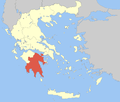 | |
|---|---|---|
| Regional unit of Argolis | ||
| Regional unit of Corinthia | ||
| Regional unit of Laconia | ||
| Regional unit of Messenia | ||
| ||
This article is issued from Wikipedia - version of the 11/16/2016. The text is available under the Creative Commons Attribution/Share Alike but additional terms may apply for the media files.