El Real Airport
| El Real de Santa María Airport | |||||||||||
|---|---|---|---|---|---|---|---|---|---|---|---|
| IATA: ELE – ICAO: none | |||||||||||
| Summary | |||||||||||
| Serves | El Real de Santa María | ||||||||||
| Location | Darién Province | ||||||||||
| Elevation AMSL | 57 ft / 17 m | ||||||||||
| Coordinates | 8°06′25″N 77°43′35″W / 8.10694°N 77.72639°WCoordinates: 8°06′25″N 77°43′35″W / 8.10694°N 77.72639°W | ||||||||||
| Map | |||||||||||
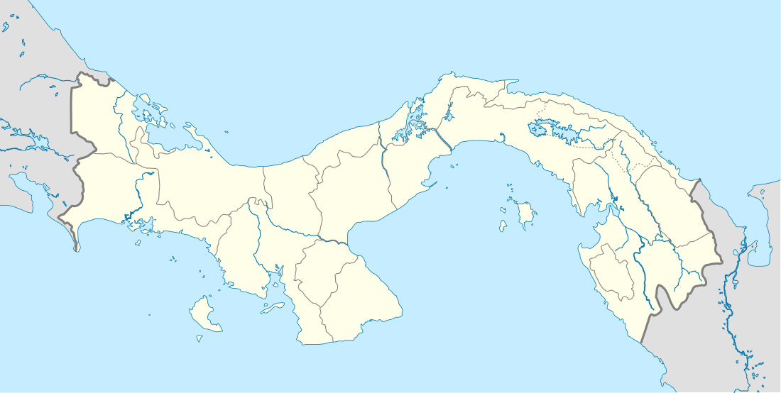 ELE Location of the airport in Panama | |||||||||||
| Runways | |||||||||||
| |||||||||||
|
Source: HERE Maps[1] | |||||||||||
El Real de Santa María Airport (IATA: ELE ) is an airstrip serving El Real de Santa María, in Panama.
See also
 Panama portal
 Aviation portal
- Transport in Panama
- List of airports in Panama
References
- Google Earth
External links
This article is issued from Wikipedia - version of the 12/1/2016. The text is available under the Creative Commons Attribution/Share Alike but additional terms may apply for the media files.