Crafton Hills
| Crafton Hills | |
|---|---|
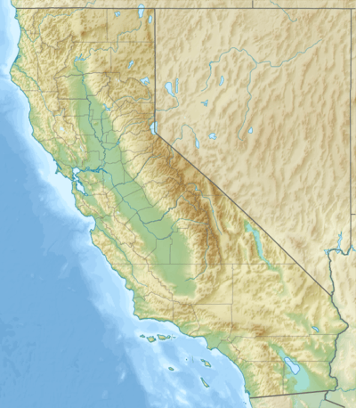 Location of Crafton Hills in California [1] | |
| Highest point | |
| Elevation | 3,297 ft (1,005 m) |
| Geography | |
| Country | United States |
| State | California |
| District | San Bernardino County |
| Range coordinates | 34°03′46″N 117°04′10″W / 34.0628°N 117.0695°WCoordinates: 34°03′46″N 117°04′10″W / 34.0628°N 117.0695°W |
| Topo map | USGS Yucaipa |
See also: Crafton Hills College
The Crafton Hills are a low mountain range of the Transverse Ranges System, in Southern California.[1]
They are located near Yucaipa, east of the city of San Bernardino in San Bernardino County. The range is south of the San Bernardino Mountains foothills.
References
- 1 2 "Crafton Hills". Geographic Names Information System. United States Geological Survey. Retrieved 2009-05-04.
This article is issued from Wikipedia - version of the 6/30/2016. The text is available under the Creative Commons Attribution/Share Alike but additional terms may apply for the media files.