Corryong Airport
| Corryong Airport | |||||||||||
|---|---|---|---|---|---|---|---|---|---|---|---|
| IATA: CYG – ICAO: YCRG | |||||||||||
| Summary | |||||||||||
| Airport type | Public | ||||||||||
| Operator | Shire of Towong | ||||||||||
| Location | Corryong, Victoria | ||||||||||
| Elevation AMSL | 963 ft / 294 m | ||||||||||
| Coordinates | 36°10′58″S 147°53′16″E / 36.18278°S 147.88778°ECoordinates: 36°10′58″S 147°53′16″E / 36.18278°S 147.88778°E | ||||||||||
| Map | |||||||||||
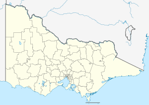 YCRG Location in Victoria | |||||||||||
| Runways | |||||||||||
| |||||||||||
Corryong Airport (IATA: CYG, ICAO: YCRG) is a small Australian regional airport, which serves the town of Corryong in Victoria's north.
See also
References
- ↑ YCRG – Corryong (PDF). AIP En Route Supplement from Airservices Australia, effective 10 November 2016, Aeronautical Chart
This article is issued from Wikipedia - version of the 12/4/2016. The text is available under the Creative Commons Attribution/Share Alike but additional terms may apply for the media files.