Comley
For people with the name, see Comley (surname).
| Comley | |
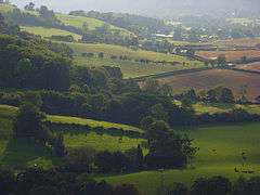 View towards Comley, from The Lawley hill |
|
 Comley |
|
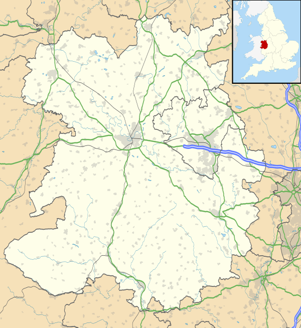
| OS grid reference | SO484965 |
|---|---|
| – London | 158 miles (254 km) |
| Civil parish | Cardington |
| Unitary authority | Shropshire |
| Ceremonial county | Shropshire |
| Region | West Midlands |
| Country | England |
| Sovereign state | United Kingdom |
| Post town | CHURCH STRETTON |
| Postcode district | SY6 |
| Dialling code | 01694 |
| Police | West Mercia |
| Fire | Shropshire |
| Ambulance | West Midlands |
| EU Parliament | West Midlands |
| UK Parliament | Shrewsbury and Atcham |
|
|
Coordinates: 52°33′50″N 2°45′36″W / 52.564°N 2.760°W
Comley is a hamlet in Shropshire, England. It is near the A49 road, to the northeast of Church Stretton.
It is situated between two prominent hills: Caer Caradoc to the south and The Lawley to the north. The elevation of the hamlet is around 200 metres (660 ft) above sea level.[1]
The hamlet is largely in the civil parish of Cardington, but Comley Farm is just within Longnor.[1]
Shropshire Wildlife Trust have a nature reserve in the former Comley Quarry.
See also
References
- 1 2 Ordnance Survey mapping
External links
![]() Media related to Comley at Wikimedia Commons
Media related to Comley at Wikimedia Commons
This article is issued from Wikipedia - version of the 1/24/2016. The text is available under the Creative Commons Attribution/Share Alike but additional terms may apply for the media files.