Holly Country
| Holly Country | |
|---|---|
 Holly Country 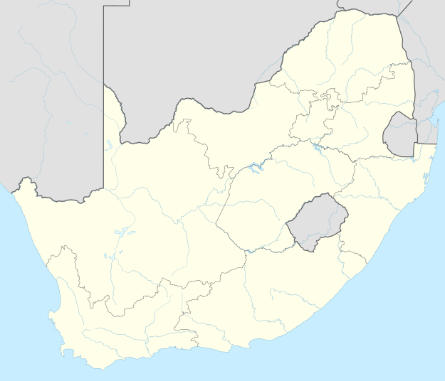 Holly Country 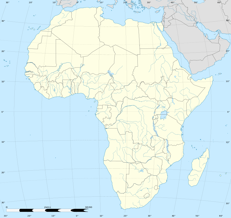 Holly Country
| |
| Coordinates: 26°55′55″S 27°55′01″E / 26.932°S 27.917°ECoordinates: 26°55′55″S 27°55′01″E / 26.932°S 27.917°E | |
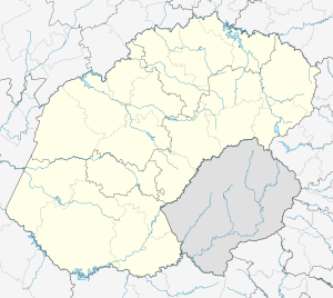
| Country | South Africa |
| Province | Free State |
| District | Fezile Dabi |
| Municipality | Metsimaholo |
| Area[1] | |
| • Total | 1.39 km2 (0.54 sq mi) |
| Population (2011)[1] | |
| • Total | 586 |
| • Density | 420/km2 (1,100/sq mi) |
| Racial makeup (2011)[1] | |
| • Black African | 21.5% |
| • Indian/Asian | 2.2% |
| • White | 75.8% |
| • Other | 0.5% |
| First languages (2011)[1] | |
| • Afrikaans | 64.5% |
| • English | 10.5% |
| • Sotho | 6.6% |
| • Northern Sotho | 3.4% |
| • Other | 15.0% |
| Postal code (street) | 1946 |
Holly Country, known as the Coalbrook Mining Village until 1996,[2] is a town in Fezile Dabi District Municipality in the Free State province of South Africa.
History
The settlement, located some 5 km from Sasolburg, is a former colliery, and was originally named Coalbrook, probably named after Coalbrookdale in England. It was the scene of the Coalbrook mining disaster on 21 January 1960; 435 workers were buried alive when the mine collapsed.[3]
Richard Hse, a Taiwanese businessman, bought out the old mine village in October 1996, renamed it and turned the place into a hub of factories including clothing, shoes, stoves, wood and paper factories and a sportsfield.[2]
References
- 1 2 3 4 "Main Place Holly Country". Census 2011.
- 1 2 "Monument pays tribute to miners". News24 South Africa. 2000-11-04. Retrieved 29 April 2013.
- ↑ "Dictionary of Southern African Place Names (Public Domain)". Human Science Research Council. p. 118.
Municipalities and communities of Fezile Dabi District Municipality, Free State | ||
|---|---|---|
District seat: Sasolburg | ||
| Moqhaka | .svg.png) | |
| Ngwathe | ||
| Metsimaholo | ||
| Mafube | ||
This article is issued from Wikipedia - version of the 8/18/2016. The text is available under the Creative Commons Attribution/Share Alike but additional terms may apply for the media files.