Chaling County
| Chaling County 茶陵县 | |
|---|---|
| County | |
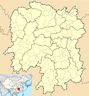 Chaling Location in Hunan | |
| Coordinates: 26°48′50″N 113°38′28″E / 26.814°N 113.641°ECoordinates: 26°48′50″N 113°38′28″E / 26.814°N 113.641°E | |
| Country | People's Republic of China |
| Province | Hunan |
| Prefecture-level city | Zhuzhou |
| Time zone | China Standard (UTC+8) |
Chaling County (simplified Chinese: 茶陵县; traditional Chinese: 茶陵縣; pinyin: Chálíng xiàn; literally: "tea hill") is under the administration of Zhuzhou, Hunan province, China.
Subdivisions
| Name | Hanzi | Population (2005) | Area (Km2) | Note |
|---|---|---|---|---|
| Chengguan | 城关镇 | 90,000 | 14 | |
| Jieshou | 界首镇 | 28,000 | 84 | |
| Yantang | 严塘镇 | 40,750 | 243 | |
| Hukou | 湖口镇 | 34,000 | 72.7 | |
| Huanxi | 浣溪镇 | 16,000 | 136 | |
| Majiang | 马江镇 | 33,000 | 85 | |
| Gaolong | 高陇镇 | 19,500 | 140.66 | |
| Yaobei | 腰陂镇 | 57,600 | 230 | |
| Lushui | 潞水镇 | 32,000 | 127 | |
| Huju | 虎踞镇 | 28,000 | 83 | |
| Pingshui | 平水镇 | 26,700 | 137.6 | |
| Zaoshi | 枣市镇 | 27,000 | 112.75 | |
| Huotian | 火田镇 | 144 | ||
| Taokeng | 桃坑乡 | 16,200 | 270 | |
| Xiadong | 下东乡 | 17,200 | 31.9 | |
| Lingfang | 舲舫乡 | 29,100 | 87.4 | |
| Sicong | 思聪乡 | 30,200 | 41.2 | |
| Mijiang | 洣江乡 | 26,670 | 41.2 | |
| Batuan | 八团乡 | 65,000 | 116 | |
| Zhitang | 秩堂乡 | 26,000 | 163 | |
References
- www.xzqh.org (Chinese)
This article is issued from Wikipedia - version of the 5/16/2015. The text is available under the Creative Commons Attribution/Share Alike but additional terms may apply for the media files.