Cartoona Peak
| Cartoona Peak | |
|---|---|
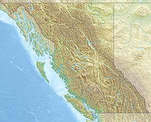 Cartoona Peak Location of Cartoona Peak in northern British Columbia | |
| Highest point | |
| Elevation | 2,305 m (7,562 ft) [1] |
| Prominence | 415 m (1,362 ft) [1] |
| Listing | List of volcanoes in Canada |
| Coordinates | 57°36′24″N 130°36′53″W / 57.60667°N 130.61472°WCoordinates: 57°36′24″N 130°36′53″W / 57.60667°N 130.61472°W [2] |
| Geography | |
| Location | British Columbia, Canada |
| Parent range | Tahltan Highland |
| Topo map | NTS 104G/10 |
| Geology | |
| Age of rock | Miocene |
| Mountain type | Lava dome |
| Volcanic arc/belt | Northern Cordilleran Volcanic Province |
| Last eruption | Miocene |
Cartoona Peak, also unofficially called Cartoona Ridge, is a volcanic peak in northern British Columbia, Canada, located just southeast of Coffee Crater in Mount Edziza Provincial Park.[2]
See also
- List of volcanoes in Canada
- List of Northern Cordilleran volcanoes
- Mount Edziza volcanic complex
- Volcanism of Canada
- Volcanism of Western Canada
References
- 1 2 "Cartoona Peak". Bivouac.com. Retrieved 2013-07-28.
- 1 2 "Cartoona Peak". BC Geographical Names. Retrieved 2013-07-28.
This article is issued from Wikipedia - version of the 7/28/2013. The text is available under the Creative Commons Attribution/Share Alike but additional terms may apply for the media files.