Byalalu
| Byalalu | |
|---|---|
| village | |
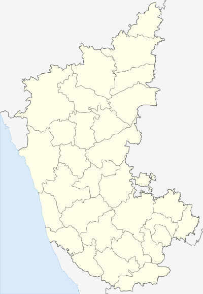 Byalalu  Byalalu Location in Karnataka, India | |
| Coordinates: 12°35′50″N 77°20′31″E / 12.597100°N 77.3418200°ECoordinates: 12°35′50″N 77°20′31″E / 12.597100°N 77.3418200°E | |
| Country |
|
| State | Karnataka |
| District | Ramanagara District |
| Government | |
| • Type | Panchayati raj (India) |
| • Body | Gram panchayat |
| Population (2011) | |
| • Total | 2,300 |
| Languages | |
| • Official | Kannada |
| Time zone | IST (UTC+5:30) |
| ISO 3166 code | IN-KA |
| Vehicle registration | KA |
| Website |
karnataka |
Byalalu is a village in Ramanagara District in Karnataka, India. It is an hour's drive from Bangalore city, off the Bangalore-Mysore highway. The population was reported as 2,300 in the 2011 Indian census.
Indian Deep Space Network
The Indian Space Research Organisation (ISRO) set up a Deep Space Network (DSN) centre in Byalalu. One of the main advantages of having the DSN at Byalalu was its saucer-like shape that would help in blocking radio frequency disturbances. The DSN was initially set up to track Chandrayaan I, India's first lunar mission; as of September 2014, it is being used to track the ongoing Mars Orbiter Mission (MOM), known as Mangalyaan.[1][2][3]
References
- ↑ Srinivas Laxman; TNN (18 May 2006). "Byalalu set to rocket to fame", The Times of India. Retrieved on 7 November 2008.
- ↑ "Deep Space Network". Indian Space Research Organisation. Retrieved on 7 November 2008.
- ↑ "ISRO - Mars updates".
This article is issued from Wikipedia - version of the 11/12/2016. The text is available under the Creative Commons Attribution/Share Alike but additional terms may apply for the media files.