Burnside of Duntrune
| Burnside of Duntrune | |
 Burnside of Duntrune |
|
| OS grid reference | NO439348 |
|---|---|
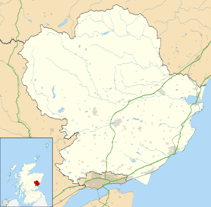
| Council area | Angus |
| Lieutenancy area | Angus |
| Country | Scotland |
| Sovereign state | United Kingdom |
| Post town | DUNDEE |
| Postcode district | DD5 |
| Dialling code | 01382 |
| Police | Scottish |
| Fire | Scottish |
| Ambulance | Scottish |
| EU Parliament | Scotland |
| UK Parliament | Dundee East |
| Scottish Parliament | Angus South |
Coordinates: 56°30′07″N 2°54′47″W / 56.501913°N 2.912940°W
Burnside of Duntrune is a hamlet in Angus, Scotland. It is situated 1 km North of Ballumbie on the outskirts of Dundee, on the Fithie Burn.[1]
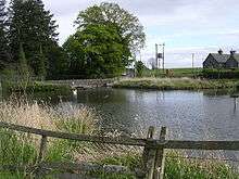
Burnside of Duntrune village pond
References
- ↑ "Dundee and Montrose, Forfar and Arbroath", Ordnance Survey Landranger Map (B2 ed.), 2007, ISBN 0-319-22980-7
This article is issued from Wikipedia - version of the 10/18/2016. The text is available under the Creative Commons Attribution/Share Alike but additional terms may apply for the media files.