Burj Islam
| Burj islam برج اسلام | |
|---|---|
| Village | |
|
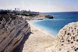
Burj islam beach | |
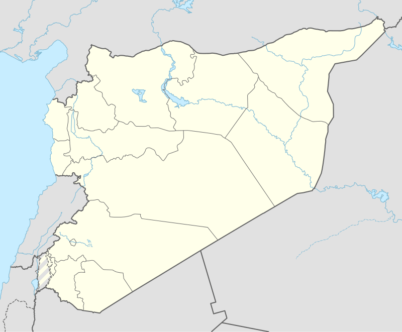 Burj islam Location in Syria | |
| Coordinates: 35°41′N 35°48′E / 35.683°N 35.800°E | |
| Country |
|
| Governorate | Latakia Governorate |
| District | Latakia District |
| Nahiyah | Ayn al-Bayda |
| Population (2004) | |
| • Total | 5,652 |
| Time zone | EET (UTC+2) |
| • Summer (DST) | EEST (UTC+3) |
| Area code(s) | 41 |
| Climate | Csa |
Burj Islam (Arabic: برج اسلام) is a village in northwestern Syria, administratively part of the Latakia Governorate, located north of Latakia. Nearby localities include Salib al-Turkman to the north, al-Shabatliyah to the northeast, Ayn al-Bayda to the east and al-Shamiyah to the south. According to the Syria Central Bureau of Statistics, the village had a population of 5,652 in the 2004 census.[1] Its inhabitants are predominantly Alawites from Arab ethnicity.[2][3][4][5]
The village is a popular summer resort with a white rock beach.[6]
References
- ↑ General Census of Population and Housing 2004. Syria Central Bureau of Statistics (CBS). Latakia Governorate. (Arabic)
- ↑ Balanche, Fabrice (2006). Les Alaouites, l’espace et le pouvoir dans la région côtière syrienne : une intégration nationale ambiguë (PDF) (in French). Karthala Editions. ISBN 2845868189.
- ↑ Mohammad D.,“The Formation of Alawite Militias in the Kassab region”, Joshua Landis. 2012-09-05.
- ↑ Syrian Turkmen receive humanitarian aid
- ↑ http://www.washingtoninstitute.org/policy-analysis/view/latakia-is-assads-achilles-heel
- ↑ http://www.lonelyplanet.com/thorntree/thread.jspa?threadID=1413352
Capital: Latakia | ||||||||
| ||||||||
| ||||||||
| ||||||||
Coordinates: 35°41′N 35°48′E / 35.683°N 35.800°E
This article is issued from Wikipedia - version of the 11/10/2016. The text is available under the Creative Commons Attribution/Share Alike but additional terms may apply for the media files.