Brenton-on-Sea
| Brenton-on-Sea | |
|---|---|
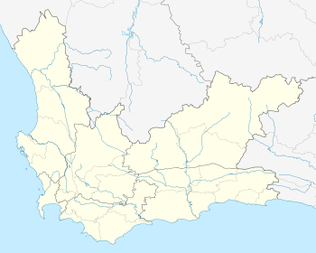
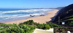
|
View of the beach | |
 Brenton-on-Sea 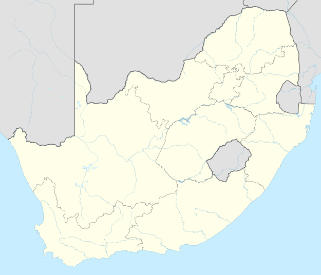 Brenton-on-Sea  Brenton-on-Sea
| |
| Coordinates: 34°04′S 23°01′E / 34.067°S 23.017°ECoordinates: 34°04′S 23°01′E / 34.067°S 23.017°E | |
| Country | South Africa |
| Province | Western Cape |
| District | Eden |
| Municipality | Knysna |
| Area[1] | |
| • Total | 1.76 km2 (0.68 sq mi) |
| Population (2011)[1] | |
| • Total | 294 |
| • Density | 170/km2 (430/sq mi) |
| Racial makeup (2011)[1] | |
| • Black African | 5.1% |
| • Coloured | 1.7% |
| • White | 91.2% |
| • Other | 2.0% |
| First languages (2011)[1] | |
| • Afrikaans | 50.2% |
| • English | 44.7% |
| • Other | 5.1% |
Brenton-on-Sea is a settlement and seaside resort town 15km west of Knysna in Eden District Municipality in the Western Cape province of South Africa.
Named after Sir Jahleel Brenton, who declared Knysna a harbour in 1818, the area is home to the endangered Brenton blue butterfly.
References
- 1 2 3 4 "Sub Place Brenton-on-Sea". Census 2011.
Municipalities and communities of Eden District Municipality, Western Cape | ||
|---|---|---|
District seat: George | ||
| Bitou | .svg.png) | |
| George | ||
| Hessequa | ||
| Kannaland | ||
| Knysna | ||
| Mossel Bay | ||
| Oudtshoorn | ||
This article is issued from Wikipedia - version of the 10/2/2016. The text is available under the Creative Commons Attribution/Share Alike but additional terms may apply for the media files.