Blue Mountain (California)
| Blue Mountain | |
|---|---|
 Blue Mountain  Blue Mountain | |
| Highest point | |
| Elevation | 8,772 ft (2,674 m) NGVD 29[1] |
| Prominence | 12 ft (3.7 m) [1] |
| Coordinates | 38°50′54″N 120°11′52″W / 38.8482412°N 120.1976891°WCoordinates: 38°50′54″N 120°11′52″W / 38.8482412°N 120.1976891°W [2] |
| Geography | |
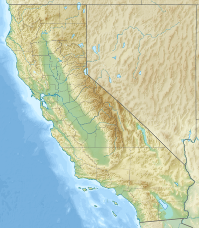
| Location | El Dorado County, California, U.S. |
| Parent range | Crystal Range, Sierra Nevada |
| Topo map | USGS Pyramid Peak |
| Climbing | |
| Easiest route | Hike, class 1-2 |
Blue Mountain is a mountain in the Crystal Range, a subrange of the Sierra Nevada. It is west of Lake Tahoe on the western boundary of the Desolation Wilderness in El Dorado County, California.
See also
References
- 1 2 "Blue Mountain, California". Peakbagger.com. Retrieved 2016-03-29.
- ↑ "Blue Mountain". Geographic Names Information System. United States Geological Survey. Retrieved 2009-12-07.
This article is issued from Wikipedia - version of the 8/5/2016. The text is available under the Creative Commons Attribution/Share Alike but additional terms may apply for the media files.