Black River (Gloucester Pool)
For other places with the same name, see Black River.
| Black River | |
| River | |
| Country | Canada |
|---|---|
| Province | Ontario |
| Region | Central Ontario |
| County | Simcoe |
| Municipality | Severn |
| Part of | Great Lakes Basin |
| Source | Unnamed lake |
| - elevation | 224 m (735 ft) |
| - coordinates | 44°46′51″N 79°31′15″W / 44.78083°N 79.52083°W |
| Mouth | Gloucester Pool on the Severn River |
| - elevation | 176 m (577 ft) |
| - coordinates | 44°48′54″N 79°40′35″W / 44.81500°N 79.67639°WCoordinates: 44°48′54″N 79°40′35″W / 44.81500°N 79.67639°W |
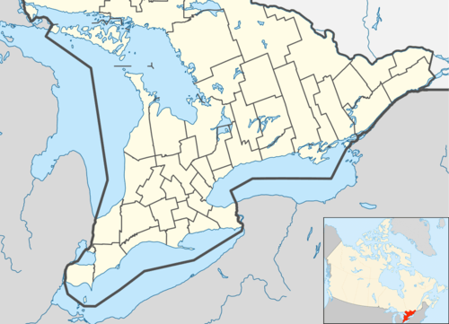 Location of the mouth of the Black River in southern Ontario
| |
The Black River is a river in Simcoe County in Central Ontario, Canada.[1] It is part of the Great Lakes Basin, and is a left tributary of the Severn River.
Course
The river begins at an unnamed lake in geographic Matchedash Township,[2] and flows to its mouth at Gloucester Pool on the Severn River. The Severn River flows to the Georgian Bay on Lake Huron.
See also
References
- ↑ "Black River". Geographical Names Data Base. Natural Resources Canada. Retrieved 2014-06-24.
- ↑ "Matchedash" (PDF). Geology Ontario - Historic Claim Maps. Ontario Ministry of Northern Development, Mines and Forestry. Retrieved 2014-06-24.
Other map sources:
- Map 5 (PDF) (Map). 1 : 700,000. Official road map of Ontario. Ministry of Transportation of Ontario. 2014. Retrieved 2014-06-24.
- Restructured municipalities - Ontario map #4 (Map). Restructuring Maps of Ontario. Ontario Ministry of Municipal Affairs and Housing. 2006. Retrieved 2014-06-24.
This article is issued from Wikipedia - version of the 5/20/2016. The text is available under the Creative Commons Attribution/Share Alike but additional terms may apply for the media files.