Bjørkelangen
| Bjørkelangen | |
|---|---|
| Village | |
|
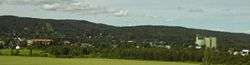
Bjørkelangen seen from Eidslia | |
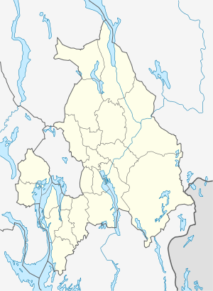 Bjørkelangen Location in Akershus | |
| Coordinates: 59°53′04″N 11°34′10″E / 59.88444°N 11.56944°ECoordinates: 59°53′04″N 11°34′10″E / 59.88444°N 11.56944°E | |
| Country | Norway |
| County | Akershus |
| District | Romerike |
| Municipality | Aurskog-Høland |
| Area | |
| • Total | 2.76 km2 (1.07 sq mi) |
| Population (2015) | |
| • Total | 3,196 |
| Time zone | CET (UTC+1) |
| • Summer (DST) | CEST (UTC+2) |
| Postal code | 1940 |
Bjørkelangen is a village of 3,196 inhabitants (January 2015 figures) [1] in the Akershus county of south-eastern Norway. Located immediately north of Lake Bjørkelangen, it became the administrative centre of the Aurskog-Høland municipality in 1966.
The village is home to a primary school, a junior high school, and two senior high schools: Bjørkelangen Videregående Skole,[2] which is a traditional high school offering a broad academic curriculum, and Kjelle Videregående Skole,[3] which focuses on agricultural and forestry education.
Commercial facilities in Bjørkelangen include three grocery stores (Rimi, REMA1000, and COOP Prix) and two petrol stations (Shell and Esso), as well as a number of clothing stores and other retail outlets in close proximity to the main, pedestrianized street.
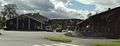
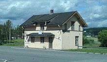
Gallery
-
Main shopping street
-
Former railway station
-
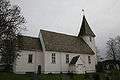
Bjørkelangen church