Bir al-Helou
| Bir al-Helou بئر الحلو | |
|---|---|
| Town | |
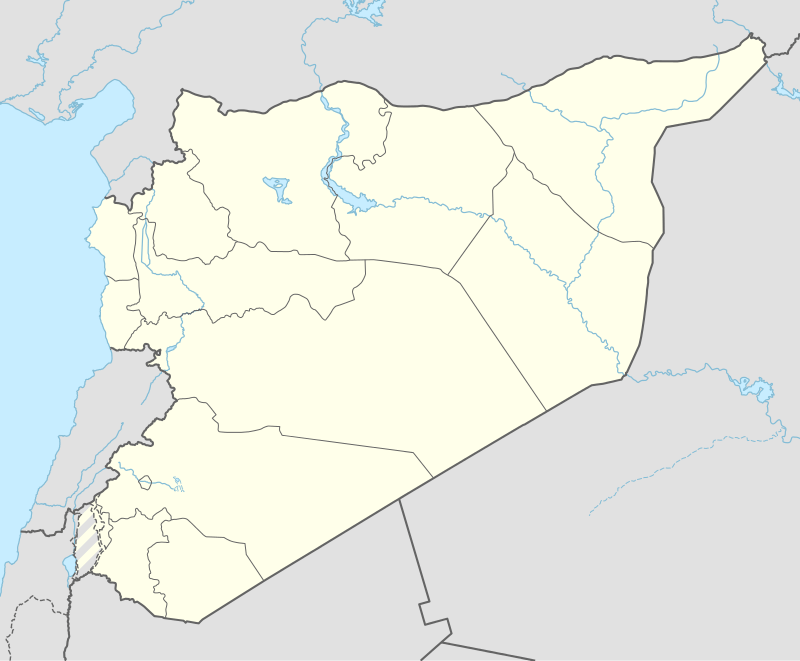 Bir al-Helou Location of Bir al-Helou in Syria | |
| Coordinates: 36°40′55″N 41°03′12″E / 36.6819°N 41.0533°ECoordinates: 36°40′55″N 41°03′12″E / 36.6819°N 41.0533°E | |
| Country |
|
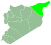
| Governorate | al-Hasakah |
| District | al-Hasakah |
| Subdistrict | Bir al-Helou al-Wardiya |
| Population (2004)[1] | 3,718 |
| Time zone | EET (UTC+2) |
| • Summer (DST) | EEST (UTC+3) |
| Geocode | C4446 |
Bir al-Helou (Arabic: بئر الحلو) is a town in central al-Hasakah Governorate, northeastern Syria. It is administrative center of the Nahiya Bir al-Helou al-Wardiya consisting of 72 municipalities.
At the 2004 census, Bir al-Helou had a population of 3,718.[1]
References
- 1 2 "2004 Census Data for Nahiya Bir al-Helou al-Wardiya" (in Arabic). Syrian Central Bureau of Statistics. Retrieved 15 October 2015. Also available in English: UN OCHA. "2004 Census Data". Humanitarian Data Exchange. Retrieved 4 December 2015.
This article is issued from Wikipedia - version of the 6/23/2016. The text is available under the Creative Commons Attribution/Share Alike but additional terms may apply for the media files.