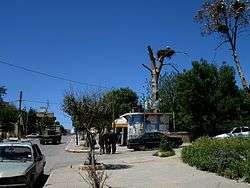
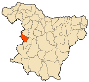
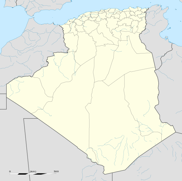
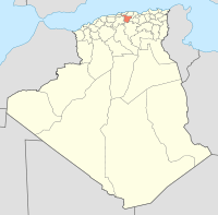
Bir Ghbalou
| Bir Ghbalou بئر غبالو | |
|---|---|
| District | |
 | |
 | |
 Bir Ghbalou | |
| Coordinates: DZ 36°15′47″N 3°35′11″E / 36.26306°N 3.58639°E | |
| Country |
|
| Province | Bouïra Province |
| Area | |
| • Total | 34 sq mi (87 km2) |
| Population (2008) | |
| • Total | 11,016 |
| Time zone | CET (UTC+1) |
Bir Ghbalou is a commune of Bouïra Province, Algeria.
Coordinates: 36°15′51″N 3°35′01″E / 36.26417°N 3.58361°E
This article is issued from Wikipedia - version of the 6/20/2016. The text is available under the Creative Commons Attribution/Share Alike but additional terms may apply for the media files.