Bikramganj
| Bikramganj विक्रमगंज | |
|---|---|
| city | |
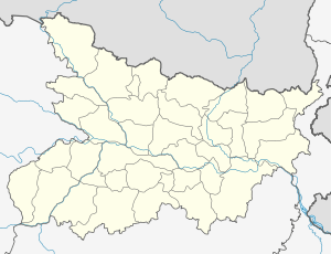 Bikramganj Location in Bihar, India | |
| Coordinates: 25°12′N 84°15′E / 25.2°N 84.25°ECoordinates: 25°12′N 84°15′E / 25.2°N 84.25°E | |
| Country |
|
| State | Bihar |
| District | Rohtas |
| Elevation | 77 m (253 ft) |
| Population (2001) | |
| • Total | 132,765 |
| Languages | |
| • Official | Hindi, Urdu |
| Time zone | IST (UTC+5:30) |
| PIN | 802212 |
| Telephone code | 06185 |
| Website |
rohtas |
Bikramganj is a city and a notified area of Rohtas district, Bihar, India.
Geography
Bikramganj is located at 25°12′N 84°15′E / 25.2°N 84.25°E.[1] It has an average elevation of 77 metres (252 feet).
Demographics
As of 2001 India census,[2] Bikramganj had a population of 132765. Males constitute 53% of the population and females 47%.
References
- ↑ Falling Rain Genomics, Inc - Bikramganj
- ↑ "Census of India 2001: Data from the 2001 Census, including cities, villages and towns (Provisional)". Census Commission of India. Archived from the original on 2004-06-16. Retrieved 2008-11-01.
This article is issued from Wikipedia - version of the 11/8/2016. The text is available under the Creative Commons Attribution/Share Alike but additional terms may apply for the media files.