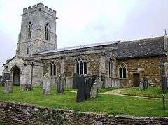
Belton-in-Rutland
| Belton-in-Rutland | |
 |
|
 Belton-in-Rutland |
|
| Area | 1.6 sq mi (4.1 km2) [1] |
|---|---|
| Population | 335 2001 Census[2] |
| – density | 209/sq mi (81/km2) |
| OS grid reference | SK816014 |
| – London | 82 miles (132 km) SSE |
| Unitary authority | Rutland |
| Shire county | Rutland |
| Ceremonial county | Rutland |
| Region | East Midlands |
| Country | England |
| Sovereign state | United Kingdom |
| Post town | OAKHAM |
| Postcode district | LE15 |
| Dialling code | 01572 |
| Police | Leicestershire |
| Fire | Leicestershire |
| Ambulance | East Midlands |
| EU Parliament | East Midlands |
| UK Parliament | Rutland and Melton |
Coordinates: 52°36′N 0°48′W / 52.60°N 0.80°W
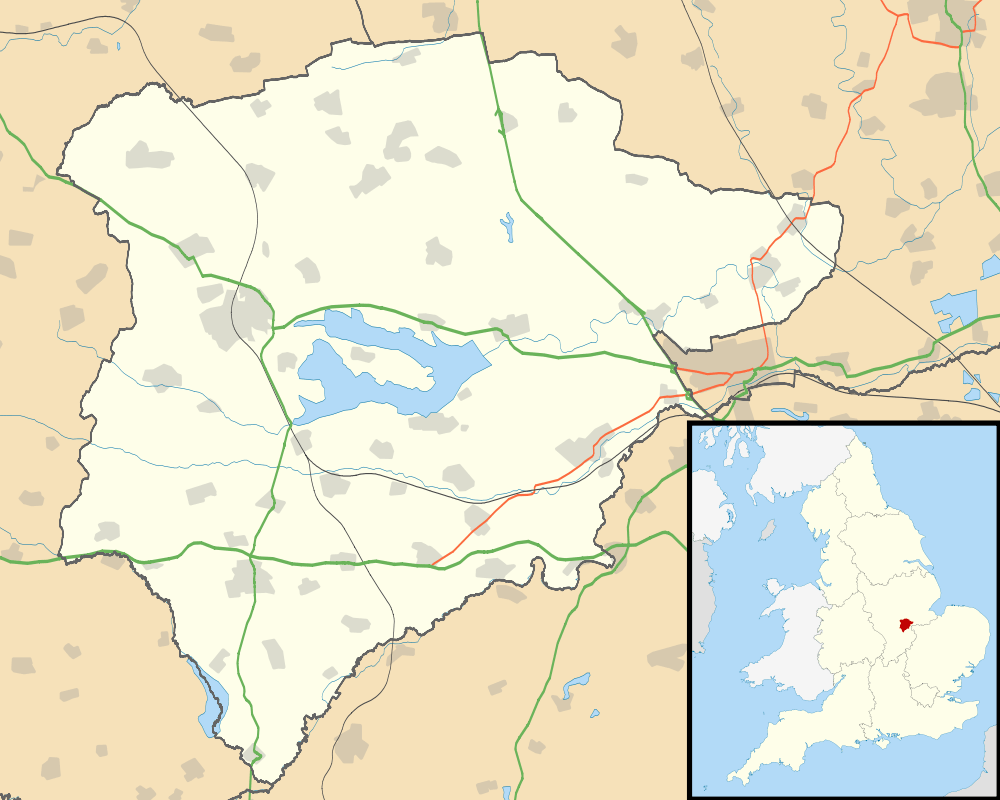
Belton-in-Rutland is a village and civil parish in the county of Rutland in the East Midlands of England. The population at the 2001 census was 345 increasing to 348 at the 2011 census.[3] It is situated about six miles (9.6 km) south-west of Oakham and about four miles (6.4 km) west of Uppingham and overlooks the A47.
The village has one Public House, The Sun Inn.
Belton was renamed Belton-in-Rutland in 1982 to distinguish the village from Belton in Leicestershire.
Belton is part of Braunston & Belton ward which has one councillor on Rutland County Council.
References
- ↑ "A vision of Britain through time". University of Portsmouth. Retrieved 30 January 2009.
- ↑ "Rutland Civil Parish Populations" (PDF). Rutland County Council. 2001. Retrieved 30 January 2009.
- ↑ "Civil Parish population 2011". Neighbourhood Statistics. Office for National Statistics. Retrieved 24 June 2016.
External links
| Wikimedia Commons has media related to Belton-in-Rutland. |
This article is issued from Wikipedia - version of the 10/30/2016. The text is available under the Creative Commons Attribution/Share Alike but additional terms may apply for the media files.