Basalt, Queensland
| Basalt Queensland | |||||||||||||
|---|---|---|---|---|---|---|---|---|---|---|---|---|---|
 Basalt | |||||||||||||
| Coordinates | 19°44′26″S 145°15′14″E / 19.74056°S 145.25389°ECoordinates: 19°44′26″S 145°15′14″E / 19.74056°S 145.25389°E | ||||||||||||
| Population | 229 (2011 census)[1] | ||||||||||||
| Postcode(s) | 4820 | ||||||||||||
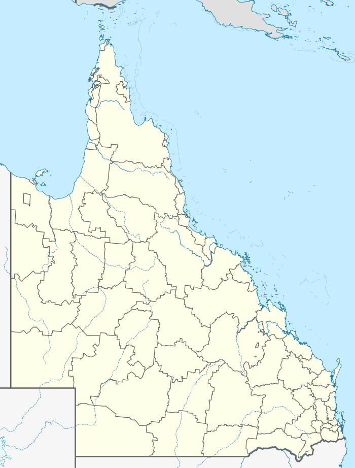
| Location |
| ||||||||||||
| LGA(s) | Charters Towers Region | ||||||||||||
| State electorate(s) | Dalrymple | ||||||||||||
| Federal Division(s) | Kennedy | ||||||||||||
| |||||||||||||
Basalt is a very large locality in the Charters Towers Region, Queensland, Australia.[2] In the 2011 census, Basalt had a population of 229 people.[1] The area has road access via the Gregory Development Road.
In the north and west lies the Clarke River. The Burdekin River drains the south where a confluence of waterways meet. Dalrymple National Park was established along the Burdekin in 1990. In the south west is the Great Basalt Wall National Park.
Heritage listings
There are a number of heritage sites in Basalt, including:
- Lolworth Creek Battery[3]
- Bluff Downs Station: Hann Family Grave[4]
References
- 1 2 Australian Bureau of Statistics (31 October 2012). "Basalt (SSC)". 2011 Census QuickStats. Retrieved 14 June 2016.
- ↑ "Basalt (entry 47632)". Queensland Place Names. Queensland Government. Retrieved 14 June 2016.
- ↑ "Lolworth Creek Battery (entry 601849)". Queensland Heritage Register. Queensland Heritage Council. Retrieved 7 July 2013.
- ↑ "Hann Family Grave (entry 601789)". Queensland Heritage Register. Queensland Heritage Council. Retrieved 7 July 2013.
This article is issued from Wikipedia - version of the 8/12/2016. The text is available under the Creative Commons Attribution/Share Alike but additional terms may apply for the media files.