Bärenhorn
| Bärenhorn | |
|---|---|
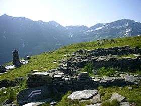 from right: Valserhorn 2886, Tällihorn 2820, Bärenhorn (center left) and Teischer 2688 (far left) from Selva Alp, above Vals | |
| Highest point | |
| Elevation | 2,929 m (9,610 ft) |
| Prominence | 443 m (1,453 ft) [1] |
| Parent peak | Bruschghorn |
| Coordinates | 46°34′32″N 9°13′54.8″E / 46.57556°N 9.231889°ECoordinates: 46°34′32″N 9°13′54.8″E / 46.57556°N 9.231889°E |
| Geography | |
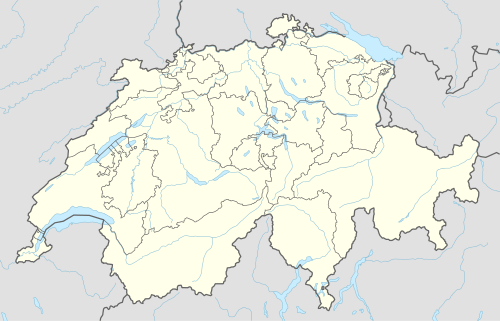 Bärenhorn Location in Switzerland | |
| Location | Graubünden, Switzerland |
| Parent range | Lepontine Alps |
The Bärenhorn is a mountain of the Lepontine Alps, situated between Vals and Nufenen in Graubünden, on territory of both municipalities. The northeastern face lies on territory of Safien.
A popular hike starts at Zervreila, passes three remote lakes (Guraletschsee, Amperveilsee and Selvasee) and descends via Selva Alp to Vals. Vals is famous for its spa.[2]
References
External links
This article is issued from Wikipedia - version of the 5/8/2016. The text is available under the Creative Commons Attribution/Share Alike but additional terms may apply for the media files.