Bareja (area)
| Bareja (બારેજા) | |
|---|---|
| Neighbourhood | |
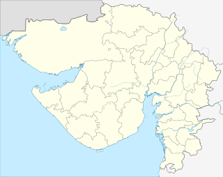 Bareja (બારેજા)  Bareja (બારેજા) Location in Gujarat, India | |
| Coordinates: 22°51′N 72°35′E / 22.850°N 72.583°ECoordinates: 22°51′N 72°35′E / 22.850°N 72.583°E | |
| Country |
|
| State | Gujarat |
| District | Ahmedabad |
| Taluka | Daskroi |
| Government | |
| • Type | Nagar Palika |
| • Body | Ahmedabad Municipal Corporation |
| Languages | |
| • Official | Gujarati, Hindi, English |
| Time zone | IST (UTC+5:30) |
| PIN | 382425 |
| Telephone code | 91-2718 |
| Vehicle registration | GJ |
| Lok Sabha constituency | Ahmedabad |
| Civic agency | Ahmedabad Municipal Corporation |
| Website |
gujaratindia |
Bareja is an area located nearly 20 km from Ahmedabad, India.[1]
References
- ↑ http://www.maplandia.com/india/gujarat/ahma[] dabad/bareja/
Bareja a mid size town near Ahmedabad on NH8. It is one of the biggest Rice Producer in Ahmedabad district.
This article is issued from Wikipedia - version of the 10/27/2016. The text is available under the Creative Commons Attribution/Share Alike but additional terms may apply for the media files.