Bandiagara Airport
| Bandiagara Airport | |||||||||||
|---|---|---|---|---|---|---|---|---|---|---|---|
| IATA: none – ICAO: GABD | |||||||||||
| Summary | |||||||||||
| Airport type | Public | ||||||||||
| Serves | Bandiagara | ||||||||||
| Elevation AMSL | 1,312 ft / 400 m | ||||||||||
| Coordinates | 14°20′10″N 3°36′35″W / 14.33611°N 3.60972°WCoordinates: 14°20′10″N 3°36′35″W / 14.33611°N 3.60972°W | ||||||||||
| Map | |||||||||||
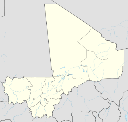 Bandiagara Location of the airport in Mali | |||||||||||
| Runways | |||||||||||
| |||||||||||
|
Source: Google Maps[1] | |||||||||||
Bandiagara Airport (ICAO: GABD) is an airport serving Bandiagara in Mali.
References
- Bandiagara
- Google Earth
This article is issued from Wikipedia - version of the 11/8/2016. The text is available under the Creative Commons Attribution/Share Alike but additional terms may apply for the media files.