Baliakheri
| Baliakheri बलिआखेरी | |
|---|---|
| Village | |
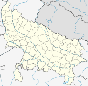 Baliakheri  Baliakheri Village location on map | |
| Coordinates: 29°55′33″N 77°38′15″E / 29.925705°N 77.637504°ECoordinates: 29°55′33″N 77°38′15″E / 29.925705°N 77.637504°E | |
| Country |
|
| State | Uttar Pradesh |
| Elevation | 274 m (899 ft) |
| Languages | |
| • Official | Hindi |
| Time zone | IST (UTC+5:30) |
| PIN | 247001 |
| Vehicle registration | UP |
| Website |
up |
Baliakheri (Hindi: बलिआखेरी) is a village in Saharanpur district in the Indian state of Uttar Pradesh. It is about 509 kilometers from the state capital Lucknow and 173 kilometers from the national capital Delhi.[1][2]
Transportation
Baliakheri can be accessed by road and by Indian railways. Closest airports are Dehradun airport (88 kilometers), Chandigarh Airport (141 kilometers) and Delhi airport (198 kilometers).[3]
See also
References
- ↑ "Village coordinates". latlong.net. Retrieved Feb 2015. Check date values in:
|access-date=(help) - ↑ "PIN code". Maps of India. Retrieved Feb 2015. Check date values in:
|access-date=(help) - ↑ "Rail information". indiarailinfo.com. Retrieved Feb 2015. Check date values in:
|access-date=(help)
This article is issued from Wikipedia - version of the 10/2/2016. The text is available under the Creative Commons Attribution/Share Alike but additional terms may apply for the media files.