Bahera
| Bahera بہیری issam bahri | |
|---|---|
| town | |
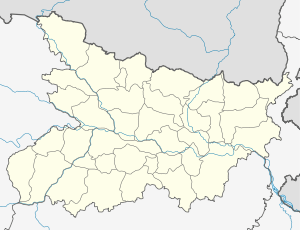 Bahera  Bahera Location in Bihar, India | |
| Coordinates: 26°5′0″N 86°9′0″E / 26.08333°N 86.15000°ECoordinates: 26°5′0″N 86°9′0″E / 26.08333°N 86.15000°E | |
| Country |
|
| State | Bihar |
| District | Darbhanga |
| Government | |
| • Body | Bihar state gov. |
| Languages | |
| • Official | Maithili, Hindi, Urdu |
| Time zone | IST (UTC+5:30) |
| Coastline | 0 kilometres (0 mi) |
| Nearest city | mosta o boughalem |
| Lok Sabha constituency | mosta |
| Civic agency | esbp |
Bahera is a town in the state of Bihar, India. It is covered under the district Darbhanga.
See also
References
This article is issued from Wikipedia - version of the 9/12/2016. The text is available under the Creative Commons Attribution/Share Alike but additional terms may apply for the media files.