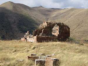
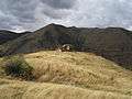
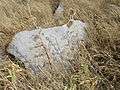
Arevis
| Arevis Արևիս | |
|---|---|
| community | |
 | |
 Arevis | |
| Coordinates: 39°24′18″N 45°54′04″E / 39.40500°N 45.90111°ECoordinates: 39°24′18″N 45°54′04″E / 39.40500°N 45.90111°E | |
| Country |
|
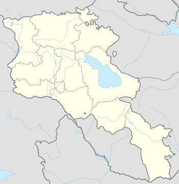
| Marz (Province) | Syunik |
| Area[1] | |
| • Total | 18.30 km2 (7.07 sq mi) |
| Population (2011) | |
| • Total | 54 |
| • Density | 3.0/km2 (7.6/sq mi) |
| Time zone | (UTC+4) |
| • Summer (DST) | (UTC+5) |
| Arevis at GEOnet Names Server | |
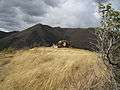
Arevis (Armenian: Արևիս, also Romanized as Aravus; formerly, Shaharshik, Shehirchik, and Sapar Ali)[2] is a village and rural community (municipality) in the Syunik Province of Armenia. The National Statistical Service of the Republic of Armenia (ARMSTAT) reported its population as 140 in 2010,[3] up from 102 at the 2001 census.[4]
Gallery
References
- ↑ Region.mtaes.am/ "Syunik regional e-Governance System" Check
|url=value (help) (in Armenian). Syunik Region Province provincial government. Click on link entitled "Համայնքներ" (community) and search for the place by Armenian name. - ↑
- ↑ "Marzes of the Republic of Armenia and Yerevan City in Figures, 2010" (PDF). National Statistical Service of the Republic of Armenia (ARMSTAT).
- ↑ Report of the results of the 2001 Armenian Census, National Statistical Service of the Republic of Armenia

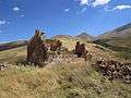
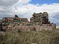
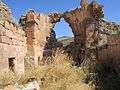
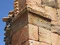
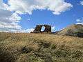
Wikimedia Commons has media related to Cultural heritage monuments in Arevis, Syunik.

This article is issued from Wikipedia - version of the 9/8/2016. The text is available under the Creative Commons Attribution/Share Alike but additional terms may apply for the media files.