Antsiranana Bay
| Bay of Diego Suarez | |
|---|---|
 | |
 Antsiranana Bay (Madagascar) | |
| Location |
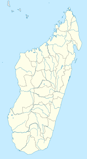
Diana |
| Coordinates | 12°13′50″S 49°17′34″E / 12.23056°S 49.29278°ECoordinates: 12°13′50″S 49°17′34″E / 12.23056°S 49.29278°E |
| Ocean/sea sources | Indian Ocean |
| Basin countries |
|
| Settlements | Antsiranana |
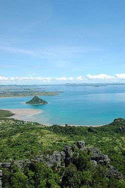
Antsiranana Bay (also known as Diego-Suarez Bay), the large natural bay along the northeast coast of Madagascar, is considered one of the finest natural harbors in the world. The bay, protected by a narrow inlet that provides shelter from strong Indian Ocean winds, is believed to be the result of a submerging coastline or a drowned river valley that formed many peninsulas around the bay. The principal city, Antsiranana, is located on a headland; its port, formerly military, became the second commercial port of the island.
External links
| Wikimedia Commons has media related to Bays of Madagascar. |
This article is issued from Wikipedia - version of the 10/15/2016. The text is available under the Creative Commons Attribution/Share Alike but additional terms may apply for the media files.