Anandpur Kalu
| Anandpur Kalu | |
|---|---|
| rural | |
| Nickname(s): Kalu | |
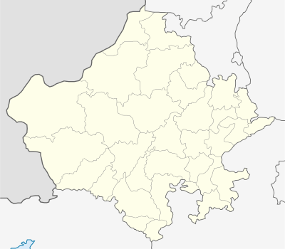 Anandpur Kalu  Anandpur Kalu Location in Rajasthan, India | |
| Coordinates: 26°22′00″N 73°59′00″E / 26.3667°N 73.9833°ECoordinates: 26°22′00″N 73°59′00″E / 26.3667°N 73.9833°E | |
| Country |
|
| State | Rajasthan |
| District | Pali |
| Elevation | 307 m (1,007 ft) |
| Population (2001) | |
| • Total | 8,334 |
| Languages | |
| • Official | Hindi |
| Time zone | IST (UTC+5:30) |
| PIN | 306301 |
| Telephone code | 02939 |
| Vehicle registration | RJ-22 |
| Sex ratio | 949 ♂/♀ |
Anandpur Kalu is a village in Jaitaran tehsil of Pali district in the Indian state of Rajasthan.
Geography
Anandpur Kalu is located at 26°22′00″N 73°59′00″E / 26.3667°N 73.9833°E. It has an average elevation of 307 metres (1007 feet).
Demographics
As of 2011 India census,[1] Anandpur Kalu had a population of 8,334. Males constitute 51% (4,276) of the population and females 49% (4,058). The mother tongues are Rajasthani and Hindi. Men wear mainly safa and women wear lahnga.
References
- ↑ "Census of India 2001: Data from the 2001 Census, including cities, villages and towns (Provisional)". Census Commission of India. Archived from the original on 2004-06-16. Retrieved 2008-11-01.
This article is issued from Wikipedia - version of the 9/14/2016. The text is available under the Creative Commons Attribution/Share Alike but additional terms may apply for the media files.