Amari (municipality)
| Amari Αμάρι | |
|---|---|
 | |
 Amari | |
|
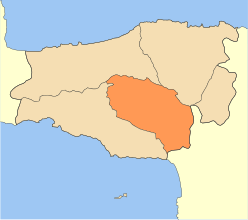
Location within the region 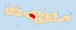 | |
| Coordinates: 35°14′N 24°39′E / 35.233°N 24.650°ECoordinates: 35°14′N 24°39′E / 35.233°N 24.650°E | |
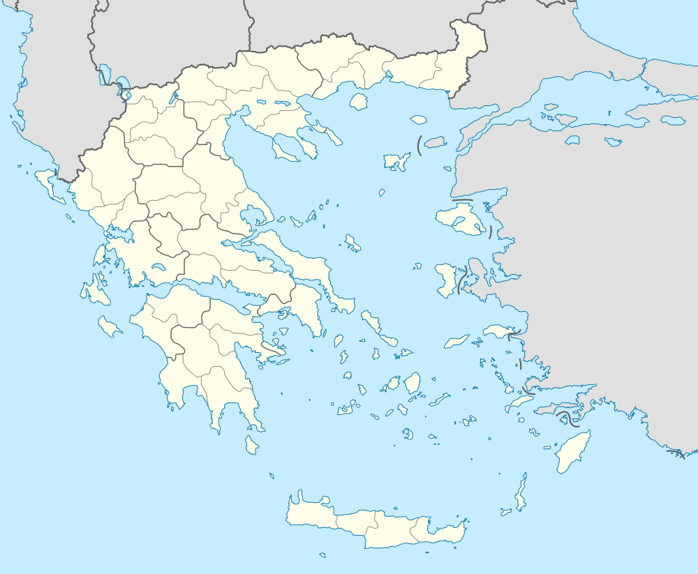
| Country | Greece |
| Administrative region | Crete |
| Regional unit | Rethymno |
| Area | |
| • Municipality | 277.7 km2 (107.2 sq mi) |
| Population (2011)[1] | |
| • Municipality | 5,915 |
| • Municipality density | 21/km2 (55/sq mi) |
| Community[1] | |
| • Population | 142 (2011) |
| Time zone | EET (UTC+2) |
| • Summer (DST) | EEST (UTC+3) |
Amari (Greek: Αμάρι) is a village and a municipality in Rethymno regional unit, Crete, Greece. The seat of the municipality is the village Agia Foteini.[2] One of the major geographic features of Amari is the Amari Valley, a landform of high elevation known for olive cultivation.[3] It is thought that Monastiraki was developed by Phaistos inhabitants founding a satellite center as they pushed out into the Amari Valley.[4]
Municipality
The municipality Amari was formed at the 2011 local government reform by the merger of the following 2 former municipalities, that became municipal units:[2]
Province
The province of Amari (Greek: Επαρχία Αμαρίου) was one of the provinces of the Rethymno Prefecture. It had the same territory as the present municipality.[5] It was abolished in 2006.
References
- 1 2 "Απογραφή Πληθυσμού - Κατοικιών 2011. ΜΟΝΙΜΟΣ Πληθυσμός" (in Greek). Hellenic Statistical Authority.
- 1 2 Kallikratis law Greece Ministry of Interior (Greek)
- ↑ Crete: Amari Valley
- ↑ C.Michael Hogan, Phaistos Fieldnotes, The Modern Antiquarian (2007)
- ↑ "Detailed census results 1991" (PDF). (39 MB) (Greek) (French)
Administrative division of the Crete Region | ||
|---|---|---|
Regional unit of Chania | 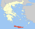 | |
Regional unit of Heraklion | ||
Regional unit of Lasithi | ||
Regional unit of Rethymno | ||
| ||