Albert Falls Dam
| Albert Falls Dam | |
|---|---|
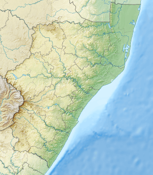 Location of Albert Falls Dam in South Africa KwaZulu-Natal | |
| Official name | Albert Falls Dam |
| Country | South Africa |
| Location | Near Pietermaritzburg, KwaZulu-Natal |
| Coordinates | 29°26′10″S 30°23′18″E / 29.43611°S 30.38833°ECoordinates: 29°26′10″S 30°23′18″E / 29.43611°S 30.38833°E |
| Purpose | Irrigation and domestic |
| Opening date | 1976 |
| Owner(s) | Department of Water Affairs |
| Dam and spillways | |
| Type of dam | Earth fill dam |
| Impounds | Umgeni River |
| Height | 33 metres (108 ft) |
| Length | 2,006 metres (6,581 ft) |
| Reservoir | |
| Creates | Albert Falls Dam Reservoir |
| Total capacity | 290.1 million cubic metres (10.24×10⁹ cu ft) |
| Surface area | 235 hectares (580 acres) |
Albert Falls Dam is dam in the Umgeni River, just outside Pietermaritzburg, KwaZulu-Natal, South Africa. It was established in 1976. It has a gross capacity of 290.1 million cubic meters and a surface area of 23.521 square kilometres (9.082 sq mi), the dam wall is 33 metres (108 ft) high.
See also
References
This article is issued from Wikipedia - version of the 9/15/2015. The text is available under the Creative Commons Attribution/Share Alike but additional terms may apply for the media files.