Aintourine
| Aintourine عينطورين | |
|---|---|
| City | |
|
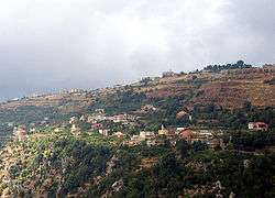
Aintourine seen from Kfarsghab - July 2006 | |
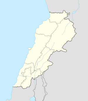 Aintourine Location within Lebanon | |
| Coordinates: 34°17′06″N 35°57′25″E / 34.28500°N 35.95694°ECoordinates: 34°17′06″N 35°57′25″E / 34.28500°N 35.95694°E | |
| Country |
|
| Governorate | North Governorate |
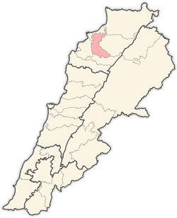
| District | Zgharta District |
| Elevation | 1,280 m (4,200 ft) |
| Time zone | EET (UTC+2) |
| • Summer (DST) | EEST (UTC+3) |
| Dialing code | +961 |
Aintourine ( known also as Ain Tourine, `Aynturin, `Intawrin, or Amtourine, Arabic: عينطورين) is a village located in the Zgharta District in the North Governorate of Lebanon.[1] It is situated in the valley of Qozhaya, the northern branch of the Valley of Qadisha.
The population is mainly Maronite Christian.[2]
References
- ↑ Aaintourine, Localiban
- ↑ "Municipal and ikhtiyariah elections in Northern Lebanon" (PDF). The Monthly. March 2010. p. 23. Retrieved 29 October 2016.
Capital: Zgharta | ||
| Towns and villages |
|  |
| Notable landmarks | ||
| History | ||
| Notable people |
| |
| Society |
| |
This article is issued from Wikipedia - version of the 10/29/2016. The text is available under the Creative Commons Attribution/Share Alike but additional terms may apply for the media files.